Covered Bridge Trail
Morgan County is home to 5 historic covered bridges. This self-guided driving tour is a great way to get out and explore the area. Pick up your Covered Bridge Trail map at the Visitors Center and hit the back roads. Also, don't forget to stop by Meyers Specialty Market for picnic provisions or grab a hot lunch at Triple Nickel Diner.
Rosseau Bridge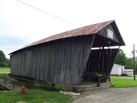
The bridge was originally built in 1881 and spanned the West Branch of Wolf Creek in Rosseau. In 1953, when the county decided to build a new bridge at its site, county workers, for $1642.00, moved the bridge to its current location. This began a series of covered bridge relocation's in Ohio. Truss type: Multiple Kingpost Built: 1881 Relocated: 1953 58 feet long; 35-58-32 Located on the Morgan County Fairgrounds, the bridge is closed to vehicle traffic. 2760 South Riverside Dr. McConnelsville, OH 43756 Adams-San Toy Bridge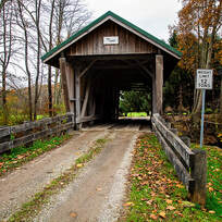
The bridge, which spans the Sunday Creek, was built in 1875, closed in the late 1980s, and repaired in 1994. Major repairs were made in 1994, including steel piers and new siding and roof. The bridge was listed on the National Register of Historic Places in 1999. Truss type: Multiple Kingpost Built: 1875 Restored: 2013-2014 58 feet long; 35-58-38 Located on Township Road 16 off OH-555 south of Portersville 1131 Morganville Rd. Malta, OH 43758 |
Helmick Mill Bridge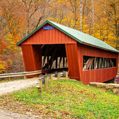
The bridge was built for $872.00 and is 74 feet long crossing Island Run. A center pier was added in the 1940s, then in the 1950s, the center pier was replaced. In 2008 the bridge was redesigned and rebuilt and a Burr arch was added. The center pier was removed during the 2008 redesign. Truss type: Multiple Kingpost Built: 1867 Restored: 2008 74 feet long; 35-58-35 Located on Township Road 269 west of Eagleport. Latitude: 39.7196 Longitude: -81.9423 Barkhurst Mill Bridge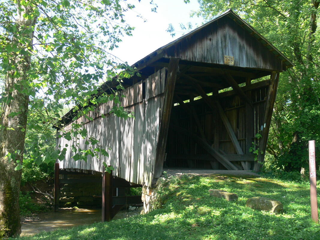
The bridge was built in 1872 and at a length of 84 feet, it crosses Wolf Creek. The bridge was built for $729.96. Because of flood problems, the bridge is anchored with steel beams to its abutments. The road to the bridge is closed to all but pedestrian traffic. Truss type: Multiple Kingpost Built: 1872 Restored: 2014 81 feet long; 35-58-15 Located on Township Road 21 northeast of Chesterhill Latitude: 39.502805 Longitude: -81.834058 |
Milton Dye Bridge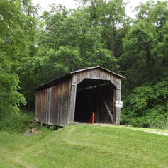
The bridge was built in 1915 and relocated in 1965. It is 40 feet long and spans Brannans Fork. In 1965 the bridge was moved from its former location in Noble County to its current location in Morgan County. Truss Type: Multiple Kingpost Built: 1915 Relocated: 1965 41 Feet Long; 35-58-41 Latitude: 39.735833 Longitude: -81.689833 Northeast of Bristol at Campsite "D" off of State Route 83. Turn off of State Route 83 onto Sawmill Rd. for .5 mile and right .1 mile at the campground. covered bridge trail brochure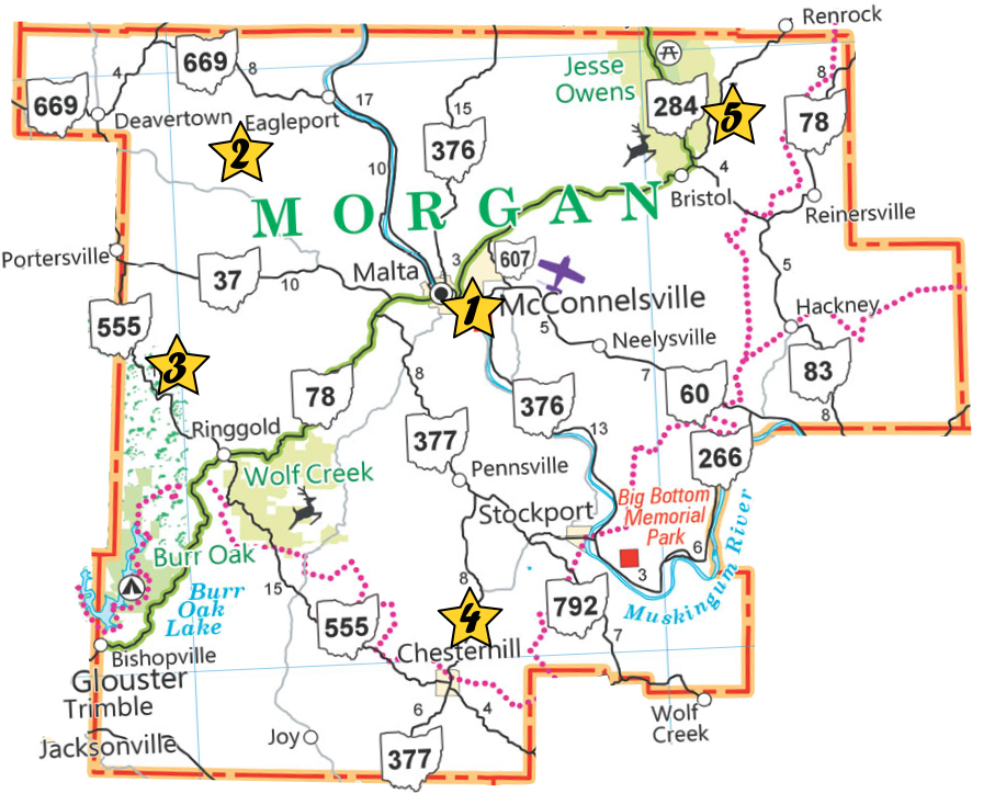
Click the map above to download our Covered Bridge Trail Brochure |